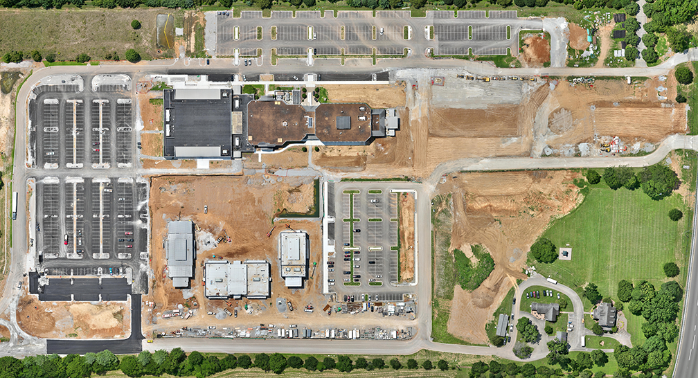
Drone mapping that converts georeferenced aerial photos into orthomosaics, DSM/DTM models, and 3D point clouds. ARC Digital Site captures and processes data for site planning, progress tracking, and as-built checks, and delivers GIS/CAD/project-management–compatible files. Ideal for civil contractors, developers, engineers, and project managers who need up-to-date site maps or change measurements over time.
We collect high-overlap photos at project-specific altitudes and deliver standard GIS/CAD formats. Workflow: confirm area, accuracy, and outputs → fly a high-overlap grid → process (typically ~24 hours, varies by site and deliverables). For recurring maps we schedule captures and provide interval comparisons.
For improved positional accuracy, use GCPs set by a licensed surveyor; we integrate GCPs into photogrammetric processing to enhance georeferencing.
All flights comply with FAA Part 107. The Remote Pilot in Command makes final safety decisions and may adjust or postpone flights for weather, airspace, or site conditions.